Day 45 – Trail Names
Start: hwy 18 Big Bear – 266.1
End: Little Bear trail camp – 285.6
Miles: 19.5
Ascent: 2400 ft| Descent: 2775 ft
Start time: 8:55 am
End time: 6:40 pm
Current elevation : 6862 ft
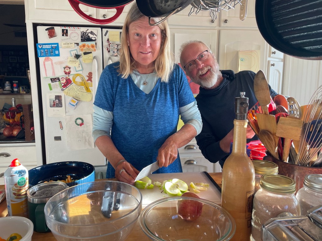
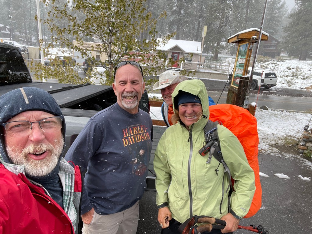
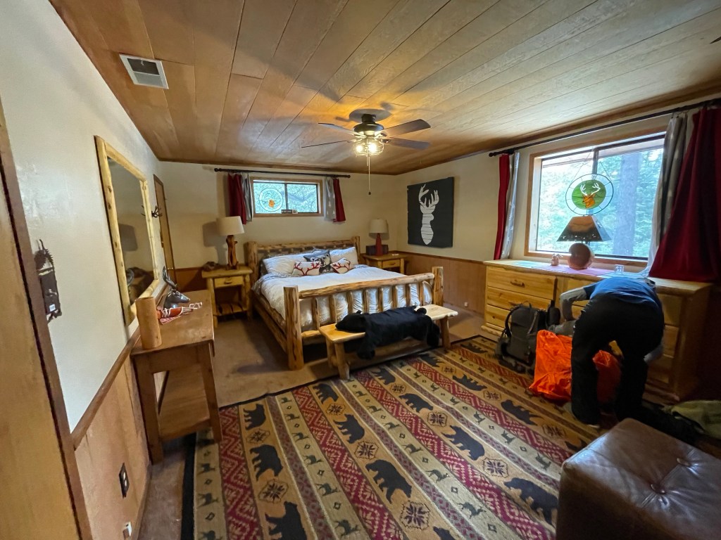
Since we are a couple, Kenny gave us the “Princess Room” with a private bath. Very nice. We got to sleep-in a little since we weren’t going back to the trail until after breakfast. Kenny was up early making breakfast for everyone: bacon, eggs, potatoes, sausage, and waffles. Kenny has a yearly contest on which hiker makes the best fruit salad. He kept asking if anyone wanted to make fruit salad and no one jumped. Finally Ellen decided that having some fruit with breakfast sounded good. With the help of Jeff, we put a basic fruit salad together and then Jeff made the scrambled eggs.

That brings us to Ellen’s new trail name. The night before during dinner, Ellen took the lead in making sure there was enough money for the waitress since they didn’t do separate checks for nine people. Then at breakfast she again took over in the kitchen. So, she was gifted a trail name of “Take Charge” or “TC” for short.
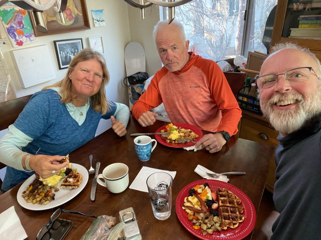
Jeff’s trail name is “Jelly” which is derived from his corporate ID at Ford Motor Company and also a name gifted by a young scout while on a hike during summer camp last year.
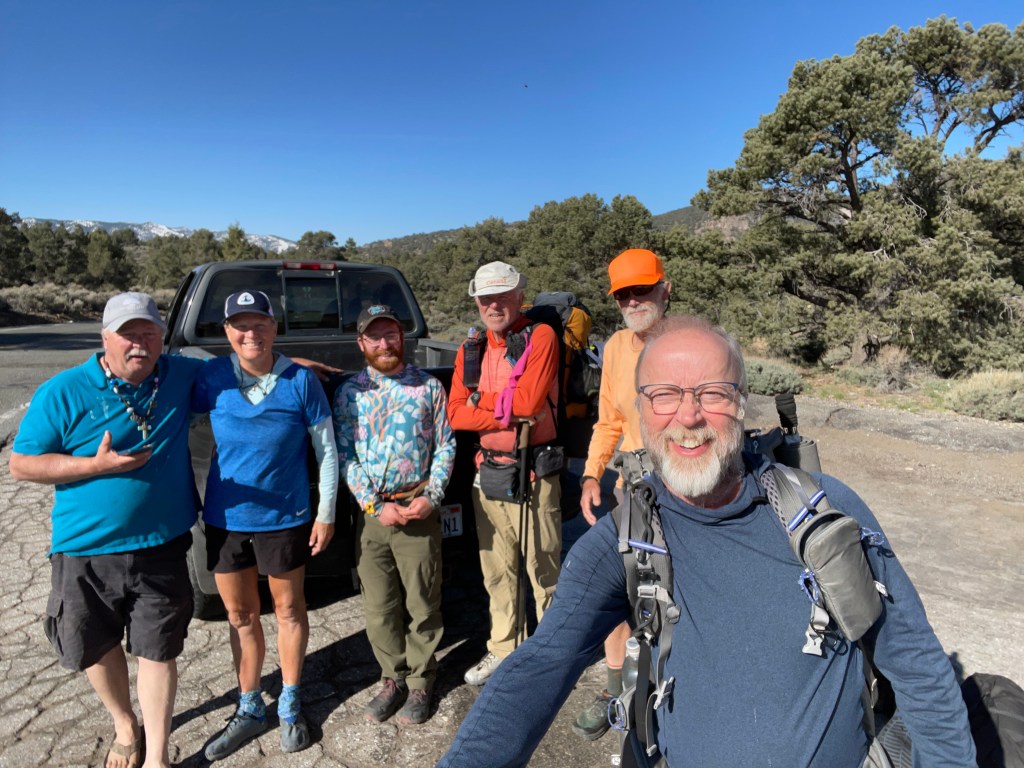
After breakfast Kenny took five of us back to trail. We did our morning video with the group and off we went. The first couple of hours went really fast as the trail was smooth and slowly downhill. Our goal was a water source about 17 miles away.
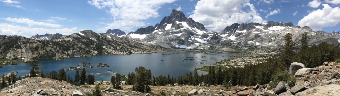
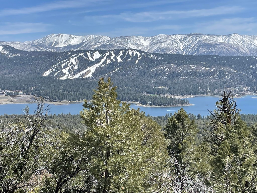
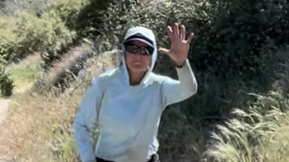
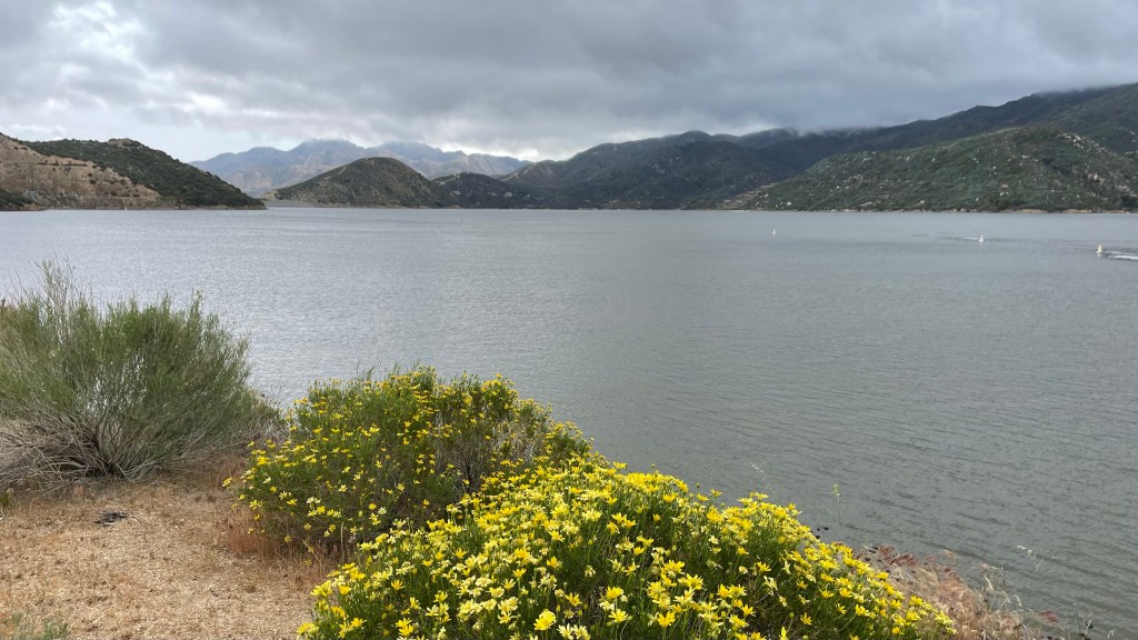
As the afternoon went on we got a beautiful view of Big Bear Lake with the snowy mountains. We also had cell reception and decided to make some calls. As we were both talking on the phone we totally missed the sharp right turn for the trail and ended up in a side trail with a bunch of day hikers. We realized our mistake and turned around. We lost a half hour of hiking while being distracted when on the phone. Lesson learned!
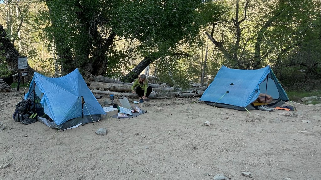
The plan was to camp near a water source, however there were no flat spots for campsites. We decided to go an extra 2.2 miles to Little Bear camp. We finally got to camp around 6:45 pm. Seems late but it was still a 10 hour day. We just started two hours later than usual.
We did 19.5 trails miles plus our half mile detour. This makes another 20 mile day!
Day 46 – Swimming
Start: Little Bear trail camp – 285.6
End: Deep creek by FS road- 301.3
Miles: 15.7
Ascent: 930 ft| Descent: 3185 ft
Start time: 7:12 am
End time: 4:01 pm
Current elevation: 4230 ft
We got up at our usual time of around 5:30 am. We made a tentative plan with Commander (Jack) to make next camp around 15-16 miles out.
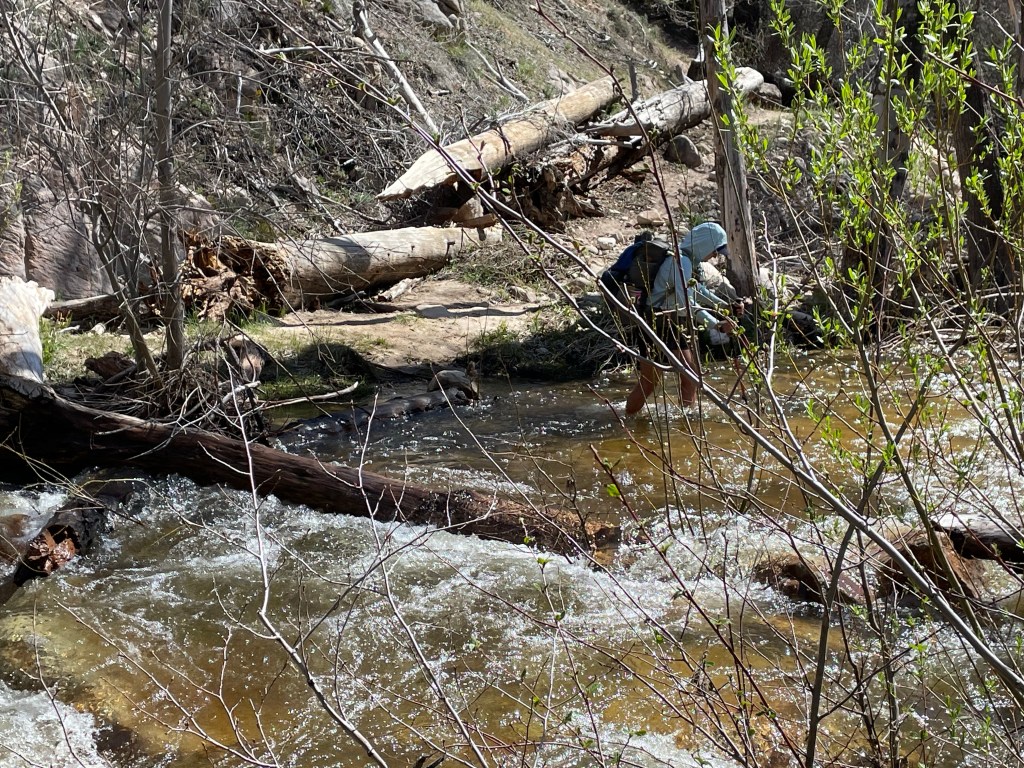
The trail followed Holcomb creek with several crossings that were about knee deep. The trail was easy and by noon we had done almost 10 miles. We had lunch at the last water source of Holcomb creek.
The afternoon dragged on as we had left the forest and were now in the high desert with thorny shrubs alongside the trail. There were also many trees blown down from the harsh winter.
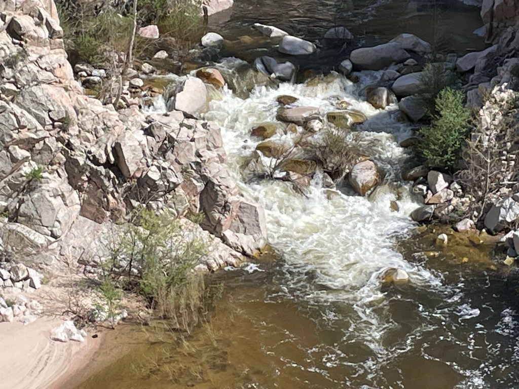
We got a nice surprise when we crossed the bridge over Deep creek. The canyon was beautiful. Deep creek was really flowing hard from all the snow melt.

We also hit another milestone: 500 miles hiked on the PCT! After flipping north we had hiked 200 miles from Aqua Dulce to Walker pass. So, as we now passed the official 300 Mile PCT post, we did a little dance to celebrate our 500 mile trek.
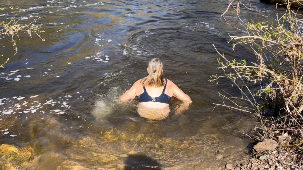
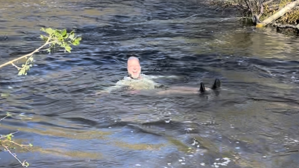
A few miles later we made it to our campsite. It was early enough that we both took a swim in Deep Creek. The water was very cold but really refreshing. Our first swim on this trail!
Day 47 – Hot Springs
Start: Deep creek by FS rd – 301.3
End: Grass valley creek – 318.0
Miles: 16.7
Ascent: 1965 ft| Descent: 2789 ft
Start time: 7:02 am
End time 4:01 pm
Current elevation: 3312 ft
Not sure what it was but both of us had the best nights sleep yet on trail. We got going as usual around 7 am. The plan was to do about 16 or so miles to set us up for two relatively easy days into Cajon Pass.
After less than three hours we made it to Deep Creek Hot Springs, a naturally flowing hot springs that flows into Deep Creek. There were about 20 other hikers there and we took turns sitting in the rock basins which had been constructed to contain the hot water. It was really nice and we spent over a hour at the springs. By 11 o’clock it was time to go if we were going to make our miles for the day.


The deep canyon slowly started to widen and after 6 miles we were at the Mojave River Forks Dam. After taking lunch, we forded Deep Creek.

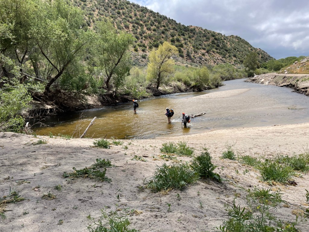
We then had 4.5 miles until our campsite for the night. We made quick work of the distance and made it there at 4 pm. But, the trail gave us one more surprise as we had to cross Grass Valley Creek first and get our feet wet again right before camp.
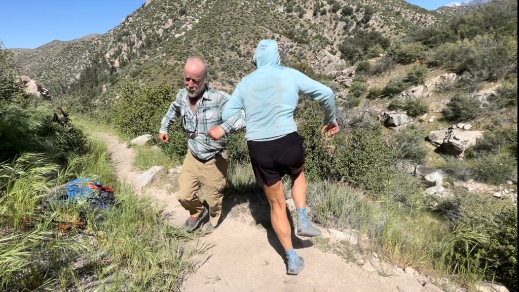
We had made camp relatively early and so we spent the rest of the afternoon relaxing, making phone calls since we had cell service and also chatting with Commander.
Day 48 – Easy Peazy
Start: Grass Valley Creek – 318.0. End: Seasonal creek – 335.7
Miles: 17.7
Ascent: 2418 ft| Descent: 2177 ft
Start time: 7:08 am
End time: 3:45 pm
Current elevation: 3579 ft
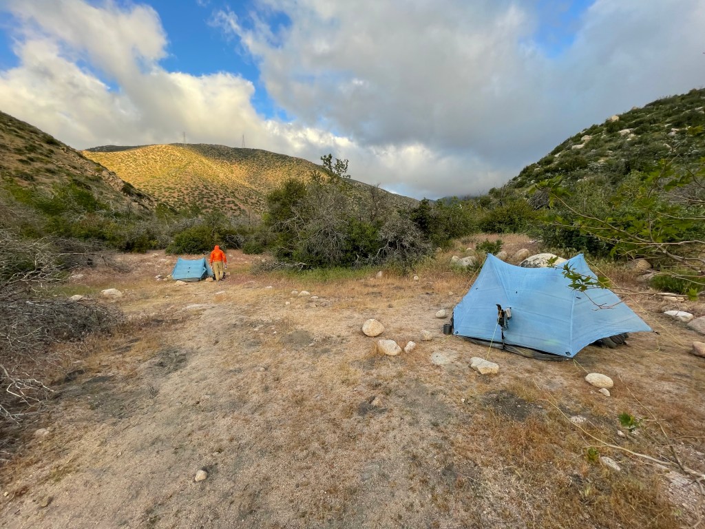
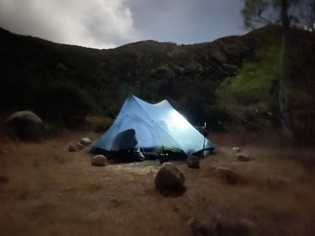
Wow, what a night! Our sleep was frequently interrupted as the wind was howling all night and pulling out some tent stakes. Eventually 5:30 am came and it was time to get moving.
Nothing really spectacular occurred today. We wanted to get as close to Cajon pass as possible to make the next day an easy hike to McDonalds. The terrain was nice and easy going.
At one point we came around a corner and we’re faced with a giant rock wall of the Silverwood Lake Dam. It was pretty impressive. The next 5 miles took us around the edge of the lake and then west over a highway.


We had a small climb before the final decent to our campsite. We made great time all day and before 4 pm we were done for the day.
It was 9 hours of hiking over 17.7 miles but it was easy physically as the trail was mostly flat and gradual downhill. We had dinner at the commander’s site talking and visiting. It was a pleasant day!

Day 49 – McDonalds!
Start: Seasonal creek – 335.7
End: I-15 – 342.0
Miles: 6.3
Ascent: 714 ft| Descent: 1236 ft
Start time: 6:40 am
End time: 9:12 am
Current elevation: 3146 ft
We hit the trail a bit earlier than usual with McDonals on the mind. Yes, McDonalds … it is a PCT hiker’s right of passage to go to the Cajon Pass McDonalds and consume a great deal of food.
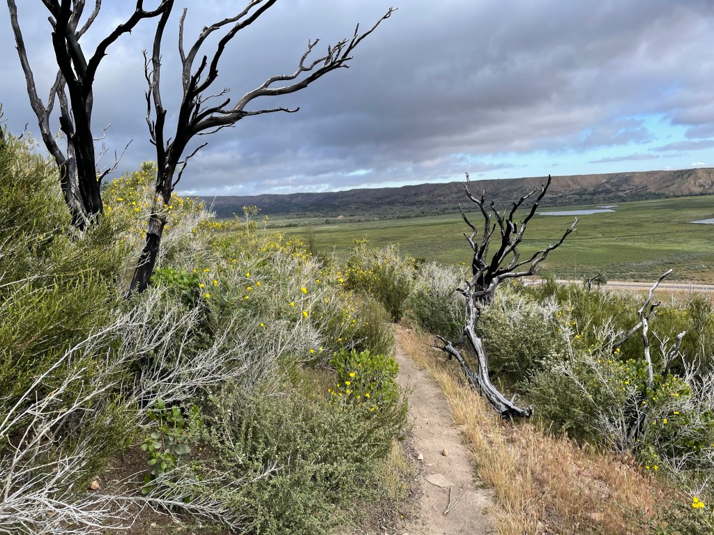
We woke up to stormy looking skies to the south of us. We only had 6.3 miles to go and the trail was super easy as it wound its way down through the eroded hills, low vegetation, and flowers. It continued to be windy most of the morning.

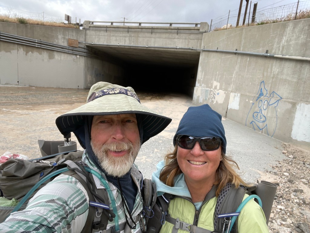
Once at the freeway we decided to walk thru the freeway tunnel and then back again. The next 19 miles of the trail (between Cajon and Wrightwood) was officially closed due to a “controlled burn” that went uncontrolled last week.


So, our final destination for the day was only a 10 minute walk. We got to McDonalds around 9:25 am and saw a few hikers we had been leapfrogging with over the last few days.
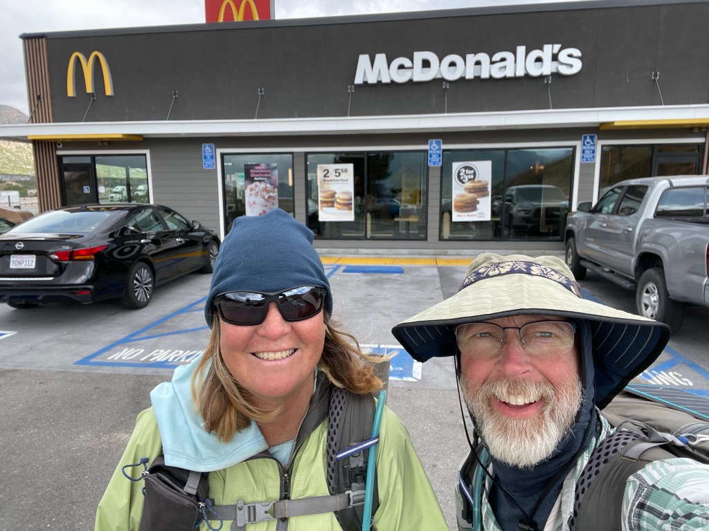
We promptly ordered breakfast – lots of it. We sat around with the other hikers, chatting and discussing options on how to get to Wrightwood.


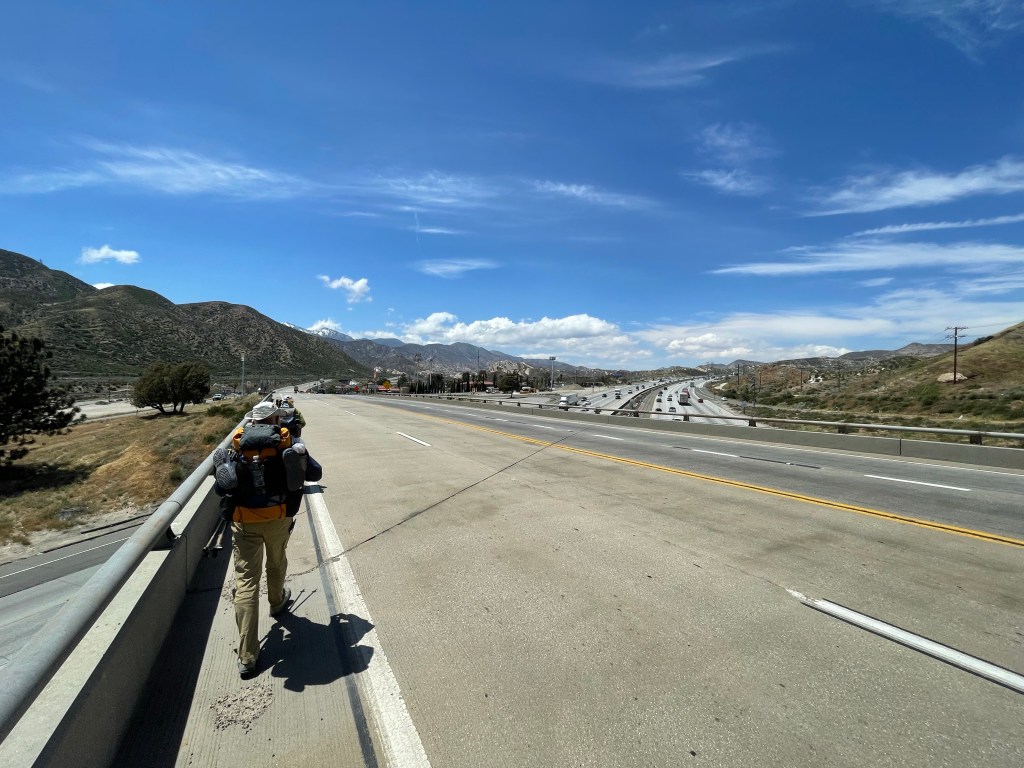
We originally planned to road walk to Wrightwood until we found out it was entirely asphalt – a hiker’s worst nightmare. More discussions and options ensued and before we knew it, it was lunch time. More food!
After a four hour stay at McDonalds, we walked down the road to the Cajon Pass Inn. We secured a ride for tomorrow to Wrightwood. As this is an official fire closure, walking a road or hiking an alternate trail (when available) is considered optional.
At the hotel we worked on our videos and blogs and some other logistics for getting back to Costa Mesa on Friday for Ellen’s father’s wedding. We continue to enjoy the trail and the hiker life.
Day 50 – Its snowing in May!
Start: I-15 – 342.0
End: Wrightwood – 342.0
Miles: 0.0
Today ended up being another zero, but this time in Wrightwood. We got a ride from Brian from Cajon pass to Wrightwood. The plan was to hike up a side trail to the PCT. Then hike about 7 miles of the PCT and get back to town.
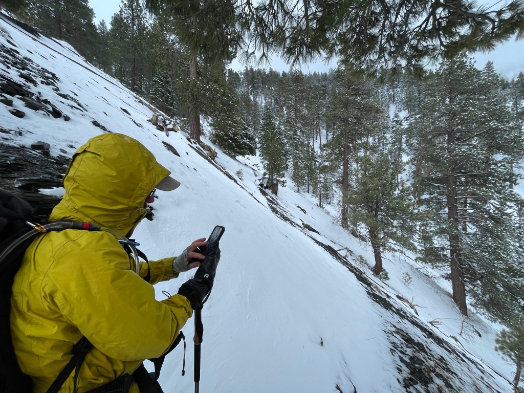
However, after our visit to Mountain Hardware – a must stop for any PCT hiker, it was snowing again. A storm was going thru and already dumped several inches of snow in town and who knows how much up on the mountain ridge. Ellen has been fighting a cold or something and was not up to walking in the cold and wet snow for the day. So we called our hiking buddies All-In and Ryan who had a place. They have been in Wrightwood for several days waiting out the storm.

We ended up staying at one of Arlene’s cottages and hanging out with All-In and Ryan.


In the afternoon Jeff and Ryan decided to go for a hike and check out the conditions on the Acorn trail. This is a trail that connects Wrightwood to the PCT and we had heard conflicting stories on its condition. They came back with a report. It’s doable but it would be better if more of the snow melted on some of the steeply exposed sections. We’ll decide once we get back if we will take this trail.

Here is the next video. Enjoy!
