Day 32
Start: Paradise Valley cafe – 151.9
End: – 159.7
Miles: 7.8
Ascent: 1878 ft| Descent: 450 ft
Start time: 1:40 pm
End time: 6:28 pm
Current elevation: 6319 ft
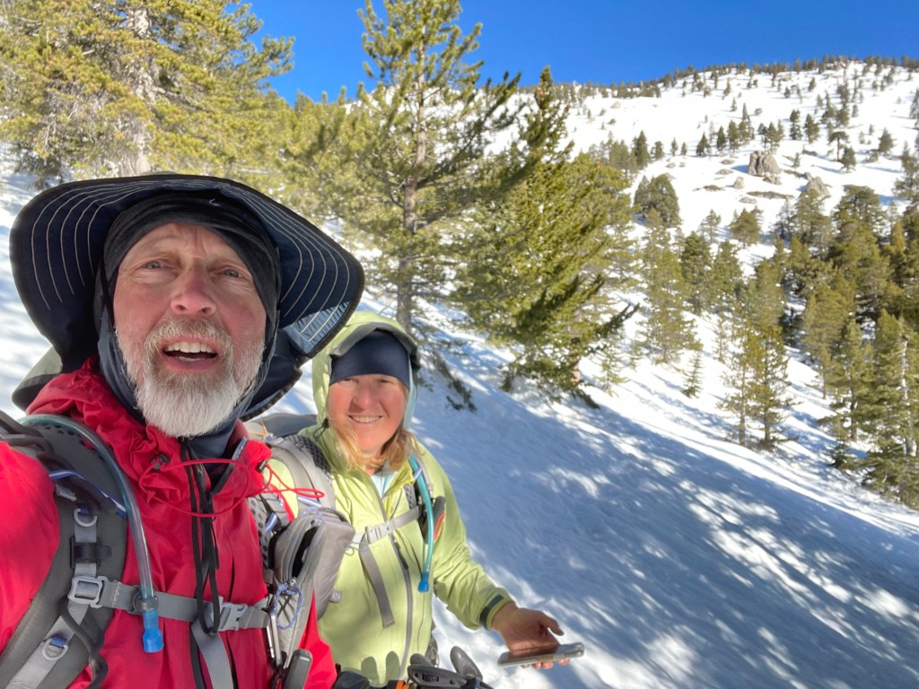
We woke up at Ellen’s brother’s house (Pete and Debbie) and got some really yummy breakfast burritos. We left the house around 9 am and they drove us back to Paradise Valley Cafe just before 11 am. It was really weird being back at PVC.
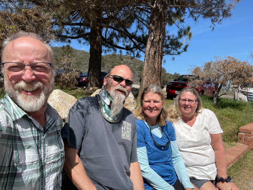
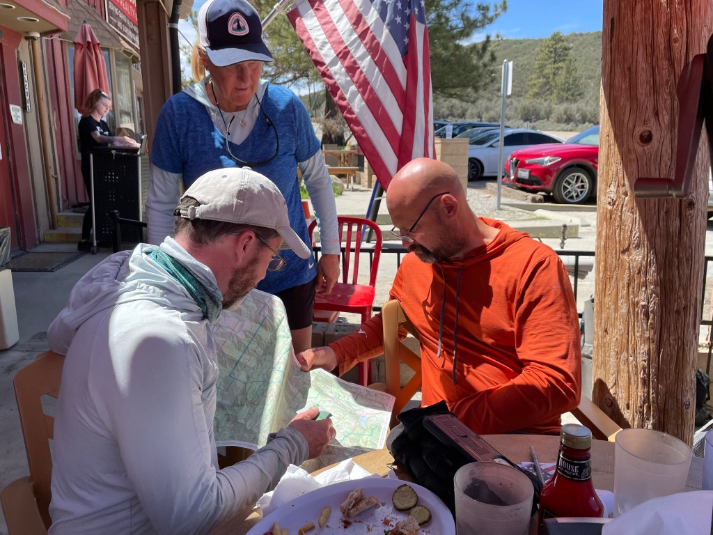
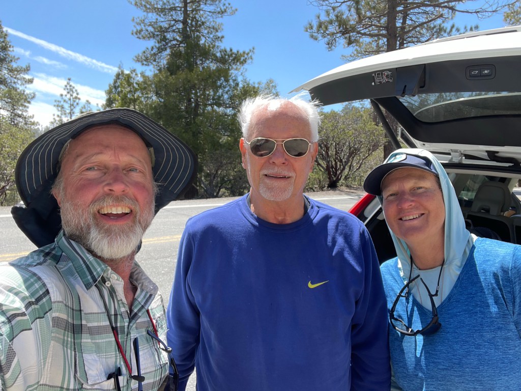
All in and Ryan arrived about an hour later and we all had lunch together. Then it was time to get back to the trail. All In’s sister and brother in law gave us a ride back to the trail one mile away.
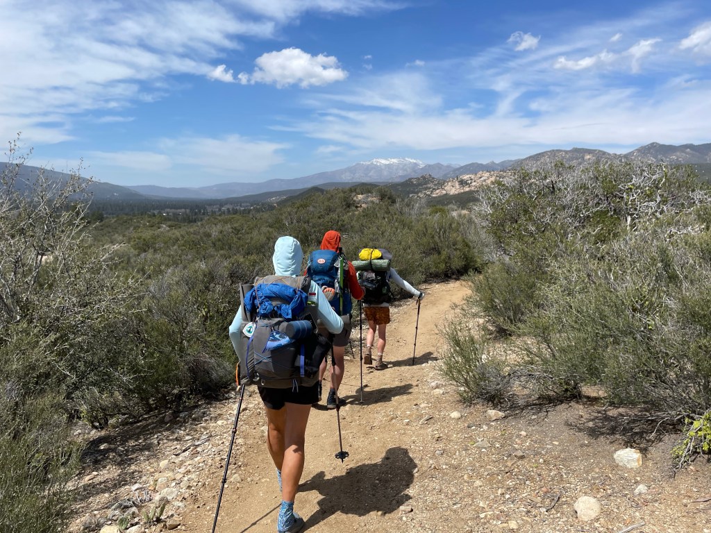
It felt great and strangely normal to be back on trail after roughly two days off. The trail wound itself through low desert with big boulders. It was hot but easy going.
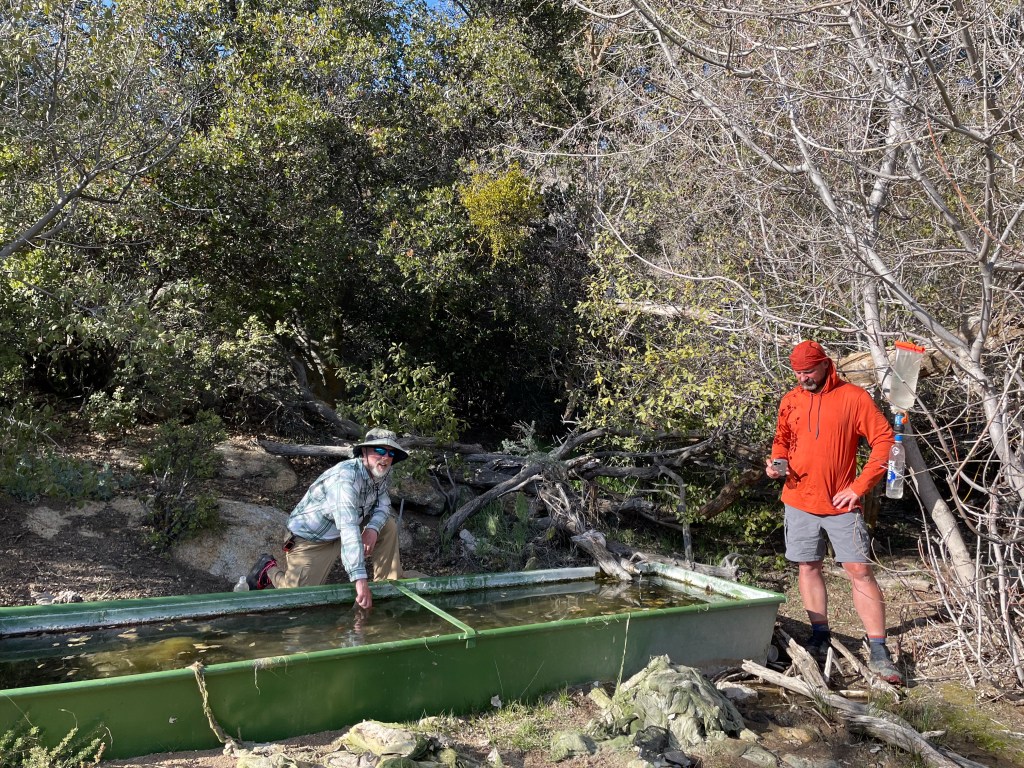
Water was starting to get scarce so after 6 miles or so we took the 0.4 mile trail to Tunnel Springs. We left our backpacks at the main trail and just carried our water bladders, bottles, and filters. We filled up and it was time to find a camping spot.
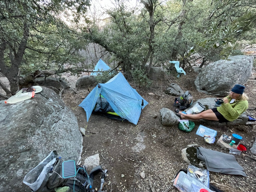
After a short time we found a great site with flat ground and a couple rocks to sit on. We had dinner and discussed the next days plan regarding snow and water. It should be an interesting day.
Day 33
Start: – 159.7
End: Past Apache peak – 170.9
Miles: 11.2
Ascent: 2924 ft| Descent: 2454 ft
Start time: 7:07 am
End time: 5:28 pm
Current elevation: 6903 ft
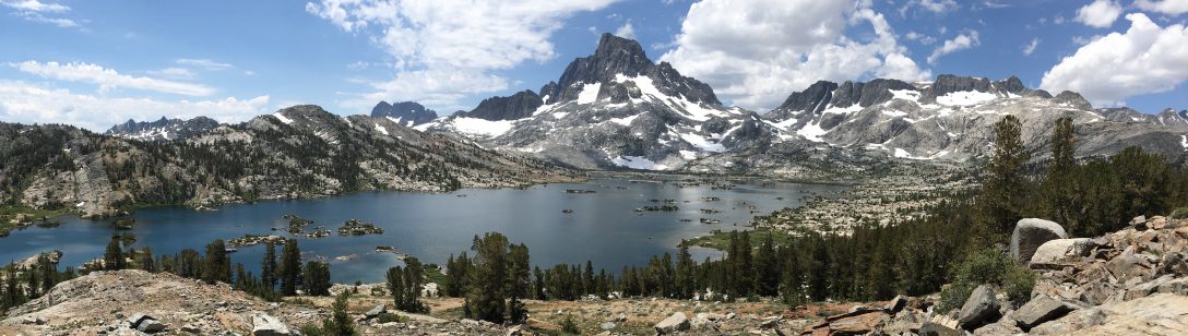
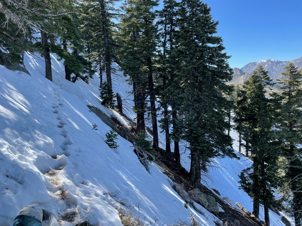
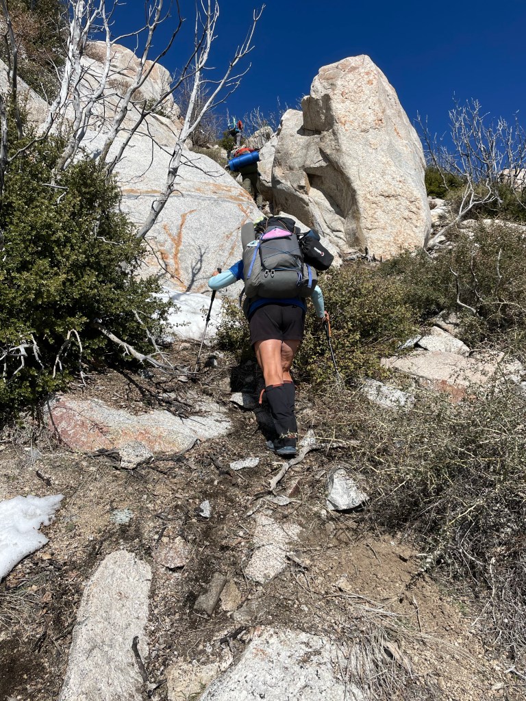
We got an early start with the intention of doing 15.7 miles. We’ll that didn’t happen! We ended up hiking only 11.2 miles. mostly because of the many trees blown down over the trail. San Jacinto Wilderness is a tough place to hike. With or without the snow.

The first half of the day was snow free but a very rocky and tough trail. We had to do some off-trail scrambling and it was pretty steep.We had a late lunch, around 1:30 pm. Then it was time to tackle Spitler peak and Apache peak.
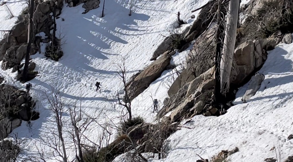
The north side of Apache Peak was holding snow and it became apparent that the slope was too steep to traverse in the soft snow. We were concerned that the snow would slide out under our feet.
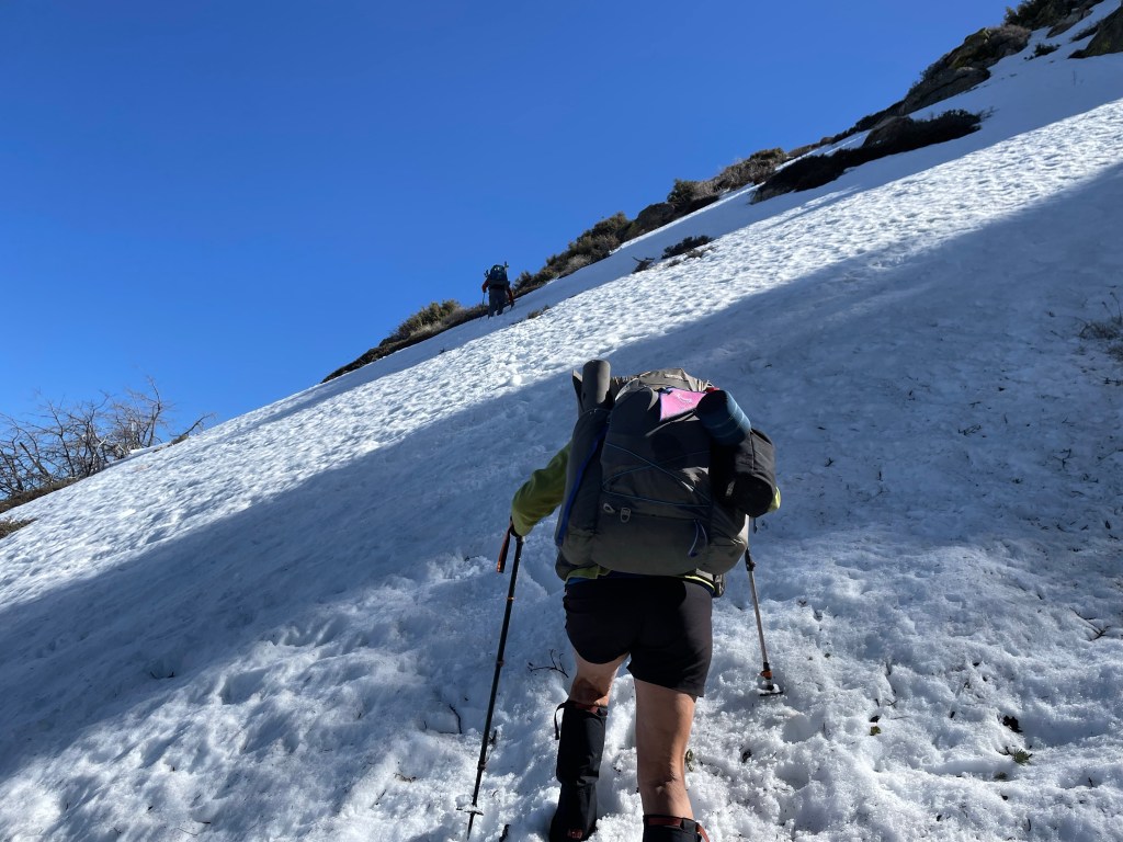

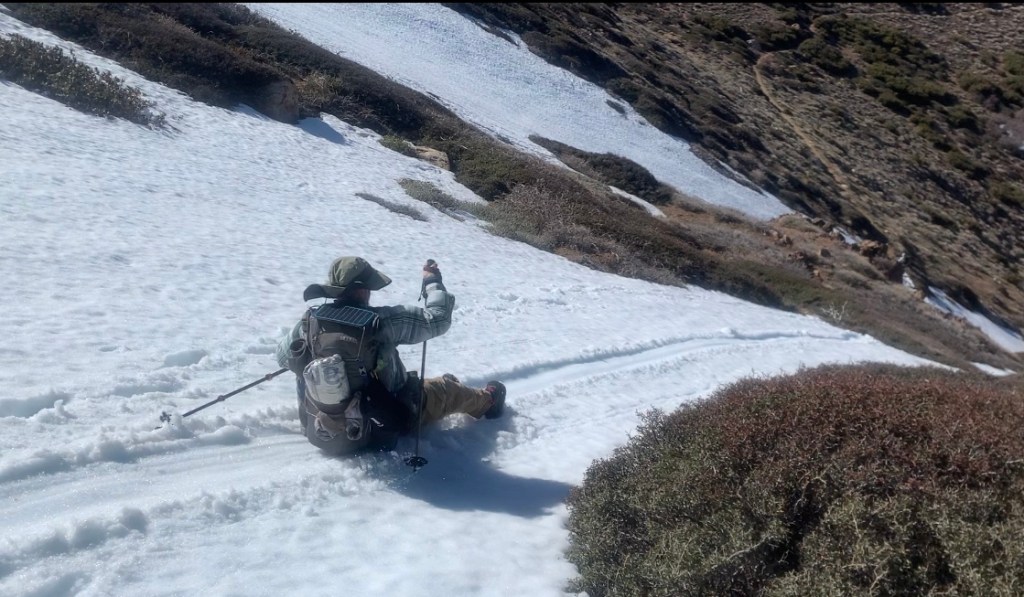
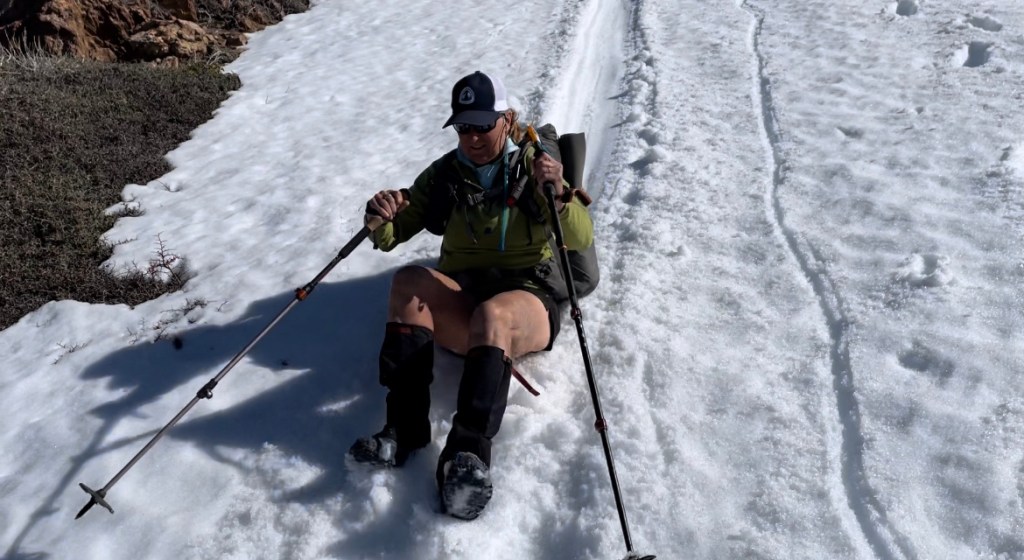
So instead, we turned around and went over the peak saddle and resumed the trail on the other side. We even did some glissading in our butts!
Once back on the trail we had another 0.6 miles before we would encounter any place suitable for pitching a tent. It was late so we all decided to camp. It was a very windy but we were some sheltered in the saddle and small trees.

It was an adventurous day on the PCT in the San Jacinto mountains.
Day 34
Start: Saddle past Apache peak – 170.9
End: in the snow – 180.9
Miles: 10.0
Ascent: 3246 ft| Descent: 1215 ft
Start time: 7:14 am
End time: 5:48 pm
Current election: 9193 ft
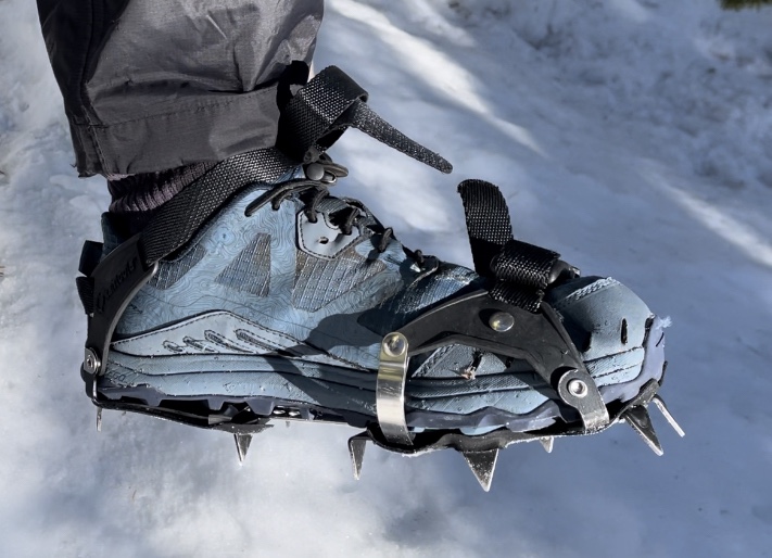
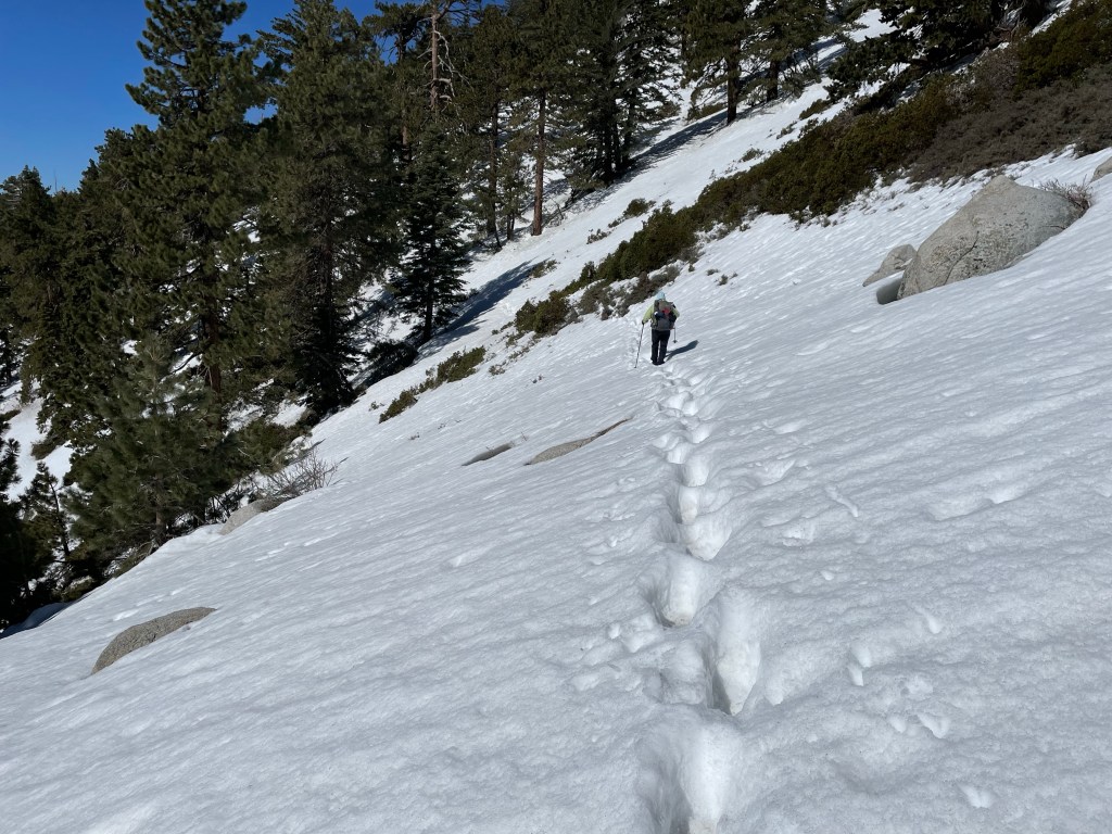
Hiking on snow is very slow work.
We all got up early as we knew it would be another day of blowdowns and snow travel. The wind continued to blow making it feel a lot colder.
Right away, the snow reappeared and another day of slow travel. We had to go around many tree blowdowns and would often loose the trail and have to bushwhack to find it again.
Some of the trail also had some steep slope exposure and this necessitated slow careful travel. We all took our time and made sure we were safe and make wise decisions.

After about 4 hours we only had gone 4 miles. We found a large rock that had snow melt water trickling over it, and since we were all nearly out of water, we stopped there for lunch and to collect water.
We were both getting frustrated with the trail today. We were tired of bushwhacking around the tree blowdowns, the steep off-trail scrambling, and the slow traverses across the steep snowy slopes.
In the afternoon, the trail was mostly in the pine forest and well away from the slopes. It was getting late and we finally found a relative flat spot under a tree out of the wind for our campsite. We had only gone 10 miles and it took us ten and a half hours.


Day 35
Start: in the snow – 180.9
End: strawberry junction – 183.5
Miles: 2.6
Ascent: 191 ft| Descent: 1009 ft
Start time: 7:22 am
End time: 5:36 pm
Current elevation: 7432 ft
Non-PCT Miles: 9.6 miles
Black Mountain rd start elevation: 5446 ft
While reviewing the maps last night, we decided that we’d had enough of hiking on steep snow exposed trail. The Fuller Ridge trail section ahead of us was rumored to be hazardous and so we decided to hike an alternate route (as did many other hikers). We would later learn than Fuller Ridge was not that bad, but we were comfortable with our decision.
We ate breakfast in our tent (out of the wind), packed up our gear, and waited until the last minute to put on our wet socks and shoes. As long as we were moving our feet would stay warm.
After about an half hour we were standing in a nice meadow looking at where the trail was going. Something wasn’t right, the trail was supposed to go down but this was going up. We checked our trail app and noticed that we had missed a trail junction. We turned around and located the correct trail (really just a set of footprints in the snow) and then continued on.
It was 2.3 miles to the next trail junction that would take us down to the valley. This section had stunning views but also steep snow slopes and so we carefully made our way.

At Strawberry camp we made the left turn and took the Deer Springs trail down. This was a 4.1 mile hike downhill to the road. The snow disappeared rather quickly and in no time we were down to hwy 243.
We found a creek and filled our water bottles. Then we needed to find a ride to Black Mountain road, a dirt road which we could hike back up the mountain. It didn’t take long before Frank pulled over and offered us a ride. He calls himself a trail “archangel” because he lives in Pine Cove which sits at a higher elevation than Idyllwild and many other trail angels.
Black Mountain road is a dirt road that goes up to the northern end of Fuller Ridge. It became snow covered as we reached the 6500 ft level.
We found a relatively flat area without snow under a big pine tree and set up camp there for the night. It was a very peaceful evening as there was no wind and the temperature was pleasant.

Day 36
Start: Black mountain rd & Fuller ridge – 190.7
End: I-10 underpass – 209.5
Miles: 18.8 + 1.7 = 20.5
Ascent: 478 ft| Descent: 7533 ft
Start time: 7:22 am
End time: 6:55 pm
Black Mountain Rd to Fuller Ridge junction: 1.7 miles with 227 ft elevation gain.
After a somewhat great quiet night sleep we got going at our usual time. Ellen is pretty picky about where to pitch the tent as she wants is perfectly level. However, when she chose last night’s site it was slightly angled and Jeff kept rolling into her.
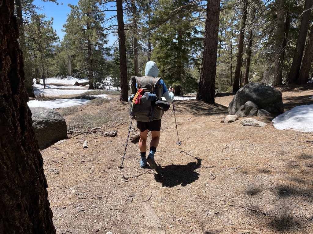
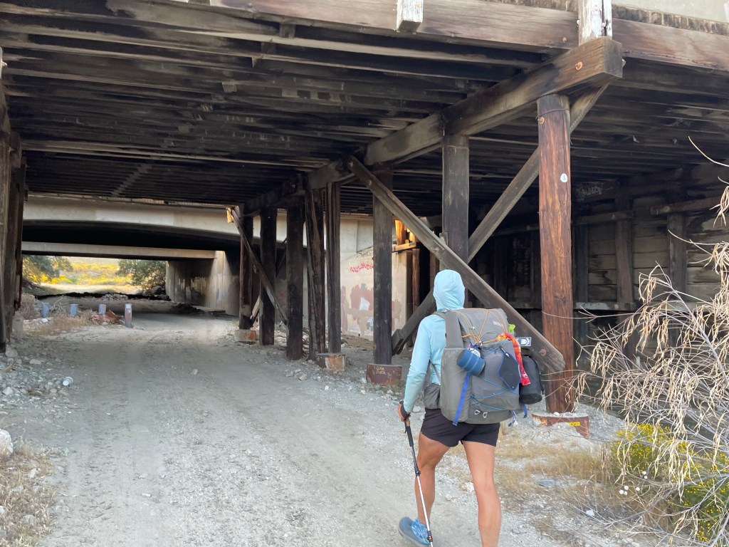
After 1.7 miles we were back on the actual PCT. Now it was time for a very long 19 miles 6500 ft elevation decent to Interstate Highway 10. The snow had vanished a mile or so down the trail.

As we went down more and more flowers were blooming. We even saw several prickly pear cactus blooming. After what seemed forever we finally made it to the last 4 miles of flat road walk. However, first we got some water from the water spigot.
We finally made it to the underpass after almost 12 hours in trail. We contacted a local trail angel named Nitsy who picked us up and brought us to the Hampton Inn in Banning. It was a very long day but we did our first 20 mile day!


Day 37
Start: I-10 underpass – 209.5
End: I-10 underpass – 209.5
Miles: 0.0
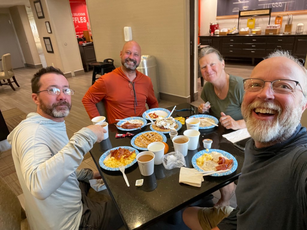
“Zero” day! We had some family matters to take care of and we needed to drive back to Costa Mesa. All In and Ryan were also at the hotel. We all had breakfast together and each had multiple plates.
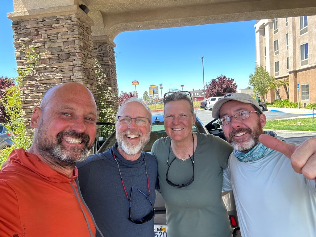
We rented a car and offered All In, Ryan and another hiker, Charlie, a ride back to the trailhead. However, it was now lunch time and we all were hungry again. Time for In-n-Out burgers. We dropped off the guys around 2 pm back at the I-10 underpass. We just became trail angels! Hopefully we’ll see them soon again.
We then proceeded to drive back to Costa Mesa. We are hoping to be back on trail on Tuesday.

Ellen and Jeff, Hay, I haven’t heard from you two in over a week and a half is everything OK? I’m hoping you get this message. Sincerely, Tom Hamm
LikeLike
We are all good. Blog is coming later today or tomorrow.
LikeLike
Ok Great glad to hear your doing fine. Look forward to your next posting.
LikeLike
Jeff and Ellen, I hope everything is OK with your family. Your not missing anything here in Michigan it’s still cold only in the 50’s for a high for the next week. I’m knocking out projects around the house and working out at lest 3 days a week, that’s good. Still struggling with not working but it gets a little easier every day .
Take it easy and be safe on the mountains. Keep the video’s coming I enjoy them.
Tom Hamm
LikeLike