Day 6
Start: Sunrise TH – 59.5
End: Sunrise TH – 59.5
Miles: 0.0
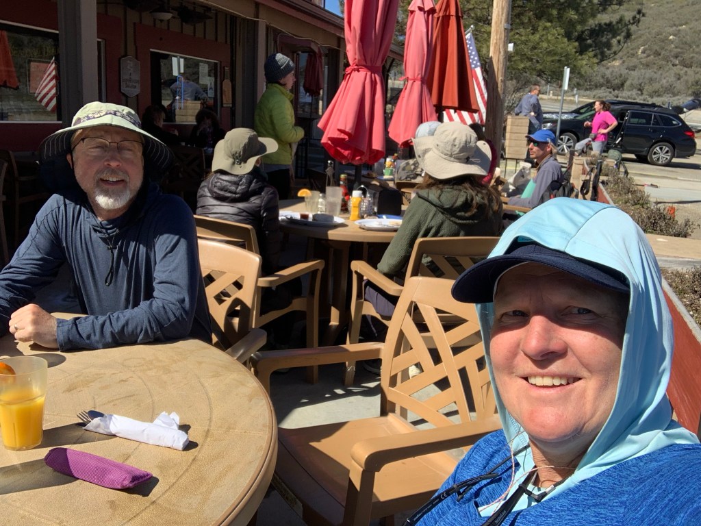
We spent a “zero day” in Julian to wait out the latest California storm and the town was full of other PCT hikers doing the same. We spent the day doing town chores: eating at restaurants, figuring out the next trail section, and watching the weather.
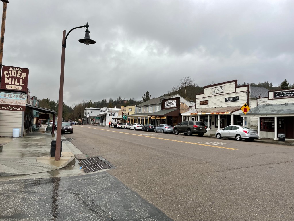
Mom’s Pie House gives a free slice and a beverage to PCT hikers so we went there with Ryan and Becky.

After looking at the forecast we made the decision to stay another day in Julian! Thank you crazy “atmospheric rivers”!
Day 7
Start: Sunrise TH – 59.5
End: ridge – 71.2
Miles: 11.7
Ascent: 1112 ft| Descent: 2669 ft
Start time: 11:50 am
End time: 5:10 pm
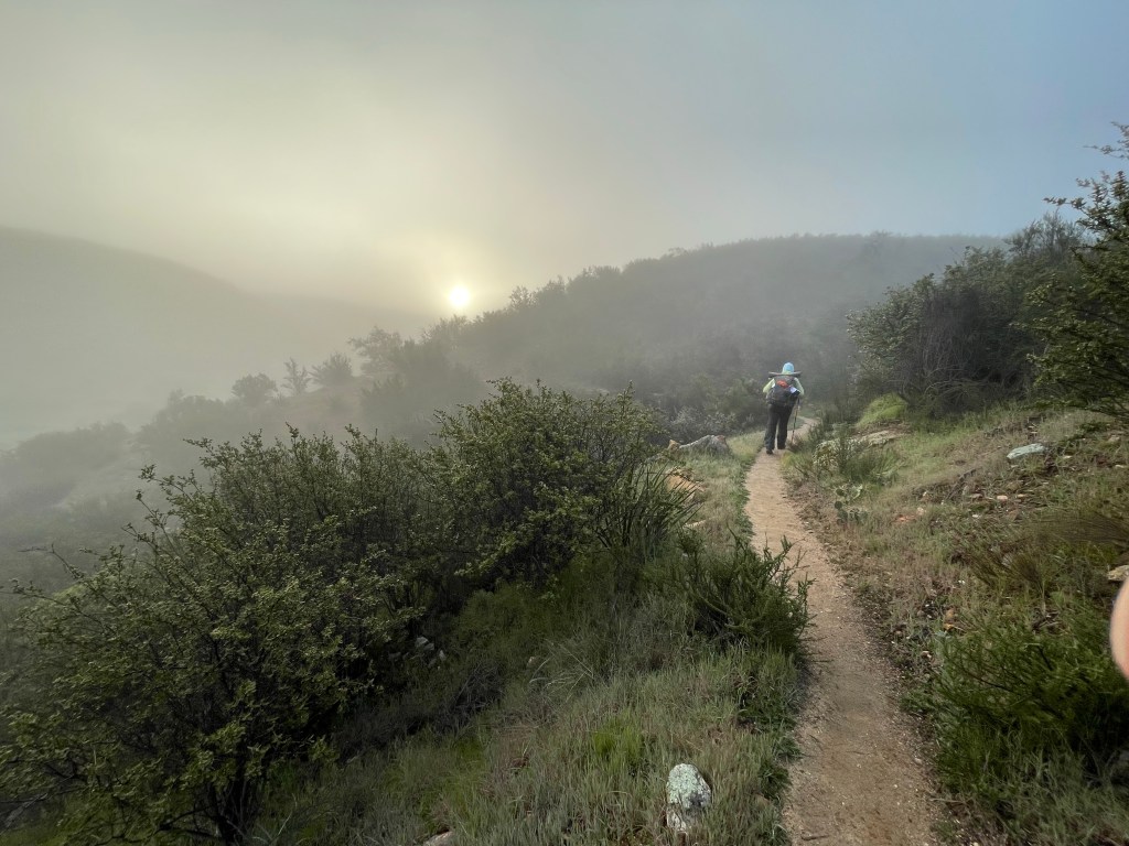
After waking up, we discovered that the forecasted snow had not arrived and in fact the latest forecast said that it would be only partly cloudy after 10am. So, after some consideration, we decided to get back on trail ASAP! We boiled some water for oatmeal and had a trail breakfast in the room. We did a quick resupply at the grocery store and then packed our stuff. The lodge was gracious and let us cancel our next night reservation.
We were packed up and standing in front of the lodge wondering how we would get to the trail when the hotel manager’s wife, Sage, offered to give us ride. So kind!
We got back to the trailhead at 11:20 am. The wind was howling and it was snowing. For the first half hour, the trail was covered in snow, slush, and mud. As we descended, the trail became a stream in places and our light footwear was soaked. Our feet were working hard though and stayed warm enough.

We did not have to worry about finding water as water was absolutely everywhere. After a couple hours we ate lunch near a stream and filled up on water.
There was no longer any surface water on the other side of the valley but we did find a well at Rodriquez (dirt) Road.
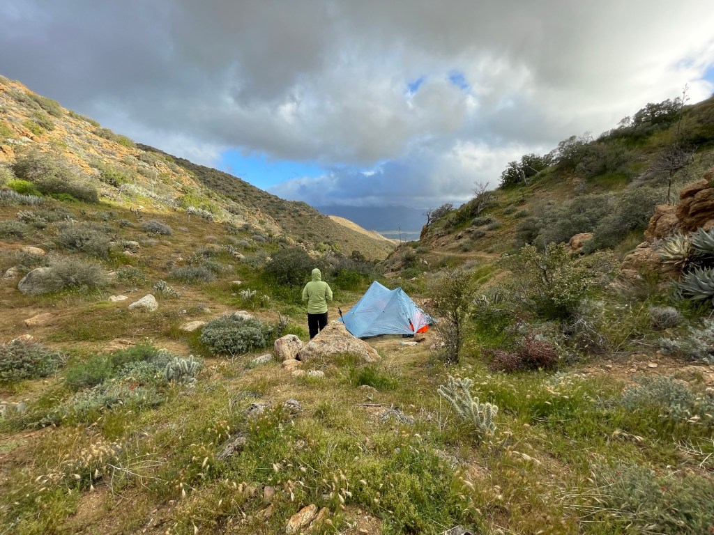
We knew that we would be dry camping again so we maxed out our water capabilities (4 liters each) and a few miles later we made camp. We were thrilled to have hiked 11.7 miles just in the afternoon.
Day 8
Start ridge – 71.2
End: in canyon below ridge – 84.7
Miles: 13.5
Ascent: 1839 ft| Descent: 1919 ft
Start time: 7:48 am
End time: 3:49 pm
A major milestone, Scissors Crossing, lay just three miles ahead. This is a junction of two major roads that resembles a scissor. Usually during the middle of hiking season and when the weather was more typically hot, many hikers hide out under the bridge to wait out the heat. Local trail angels also maintain a water cache under the bridge. Scissors Crossing is also is a key spot for hikers to hitch a ride to and from Julian.


After snacking and filling up on water it was time to begin the next section. The trail climbs up and follows the ridges of the San Felipe Mountains. The trail itself winds in and out of canyons and ravines and covers about 20 miles whereas the straight road below only about 6 miles. The trail was exposed and the wind was howling. Late in the afternoon we found a small tent site deep in a ravine which provided some shelter.
Day 9
Start: in canyon below ridge – 84.7
End: Barrel Spring – 101.1
Miles: 16.4
Start time: 7:32 am
End time: 4:26 pm
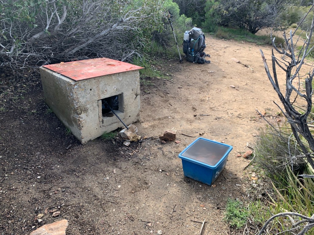
We broke camp and continued along the San Felipe mountains. Six miles ahead there was a water cache not far off trail where trail angels had left 4 pallets of water jugs. Awesome! It also included a wire cage the empty water jugs to be recycled and a container for cash donations.

After filling up on water we continued another 10 miles on a slow descent towards Montezuma Valley and Barrel Spring. But just before arriving there we hit our first major milestone – we had hiked 100 miles!
Upon arriving at Barrel Spring, other hikers mentioned that there was some trail magic by the road. Sure enough, “Crafty” and “Coffee” were handing out pizza and beverages. We both had a few slices of pizza and enjoyed talking to these guys who had previously hiked the PCT. We would save our ramen noodles for another time!

After dinner we set up camp along with several other hikers near Barrel Spring. Not the best site in the world, but we got pizza!
Day 10
Start: Barrel Spring – 101.1
End: Aqua Caliente – 115.4
Miles: 14.3
Ascent: 1455 ft| Descent: 1829 ft
Start time: 6:58 am
End time: 4:31 pm
The morning was cold and foggy as we made our way through cattle pastures and rolling hills.

We passed by Eagle Rock which is a popular day hiking destination.

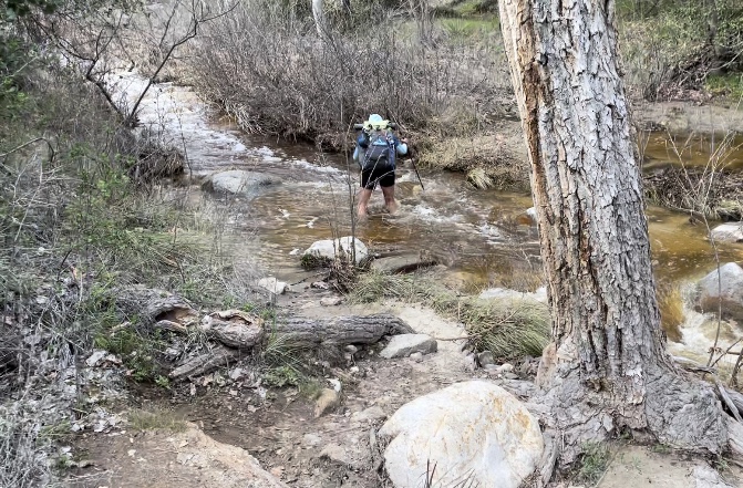
North of Warner springs, the trail climbs back into the mountains along Aqua Caliente Creek and includes five wet foot crossings.
Day 11
Start: Aqua Caliente – 115.4
End: site near creek – 131.7
Miles: 16.3
Ascent: 3471 ft| Descent: 2094 ft
Start time: 7:00 am
End time: 4:26 pm
We woke up at 6am and quickly packed up camp. After putting on our wet socks and shoes it was time to cross the creek once again. The water level was just above our knees and the water was frigid.

Fortunately, the trail climbed steeply and our feet warmed up. After about an hour we found a spot in the sun and had breakfast.

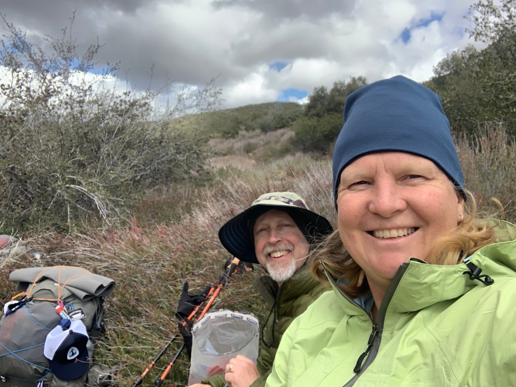
Today we met a lot of other hikers: Onward, Machine, and Tank. We also ran into Jackie again. There was talk about camping together that night but we all found different sites.
The trail was smooth but often overgrown with scratchy bushes and so the last 4.5 miles went really slow. In several places there was still lingering snow. We were both tired.
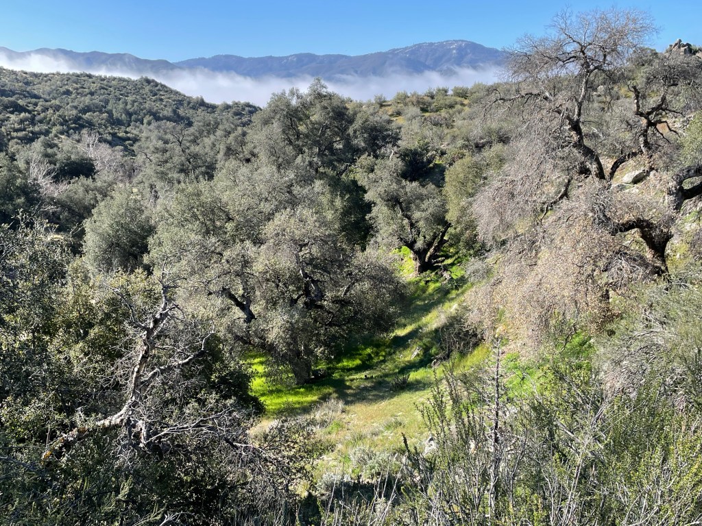
At one point we rounded a corner and got our first glimpse of the snow covered Mt. San Jacinto and the San Bernardino Mountains.
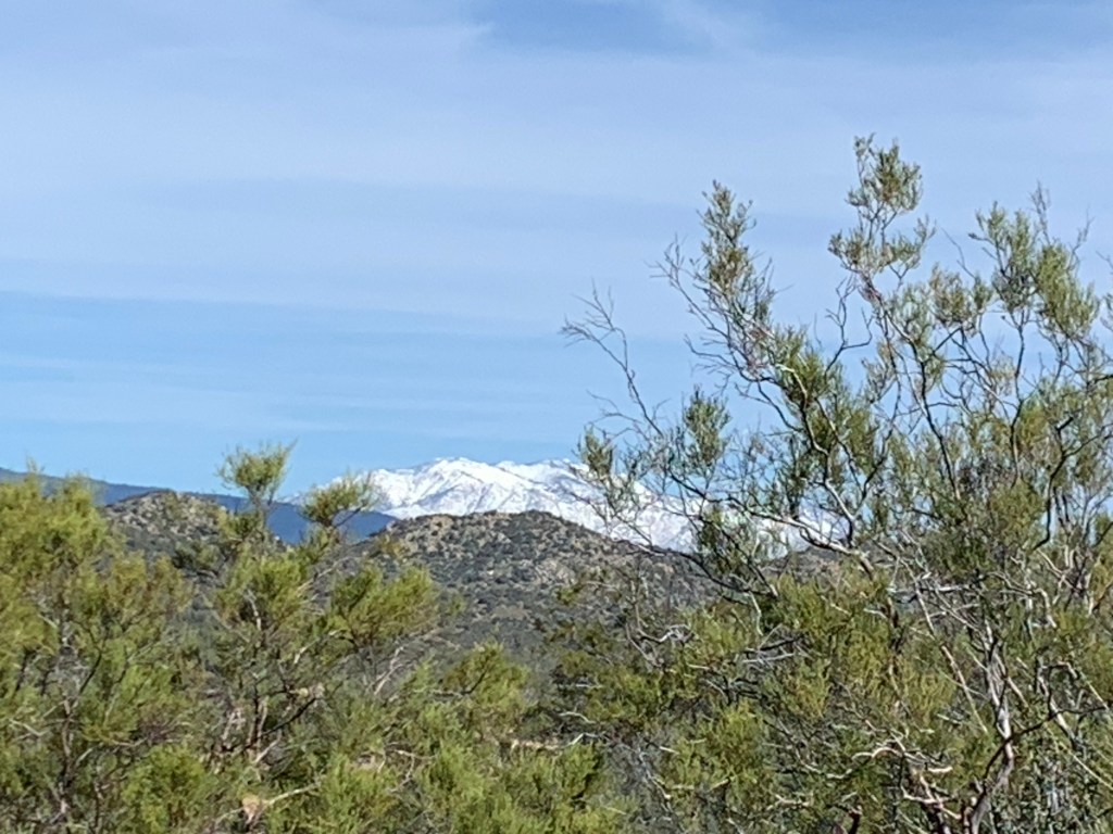
We found a tent site in a ravine near a trickle of water and with a great view of Mt. San Jacinto. Once at camp, we soaked our tired feet in the nearby stream. Another great day on trail!

Day 12
Start: site near stream – 131.7
End: Table Mountain – 146.2
Miles: 14.5
Ascent: 2047 ft| Descent: 1968 ft
Start time: 7:32 am
End time: 4:26 pm
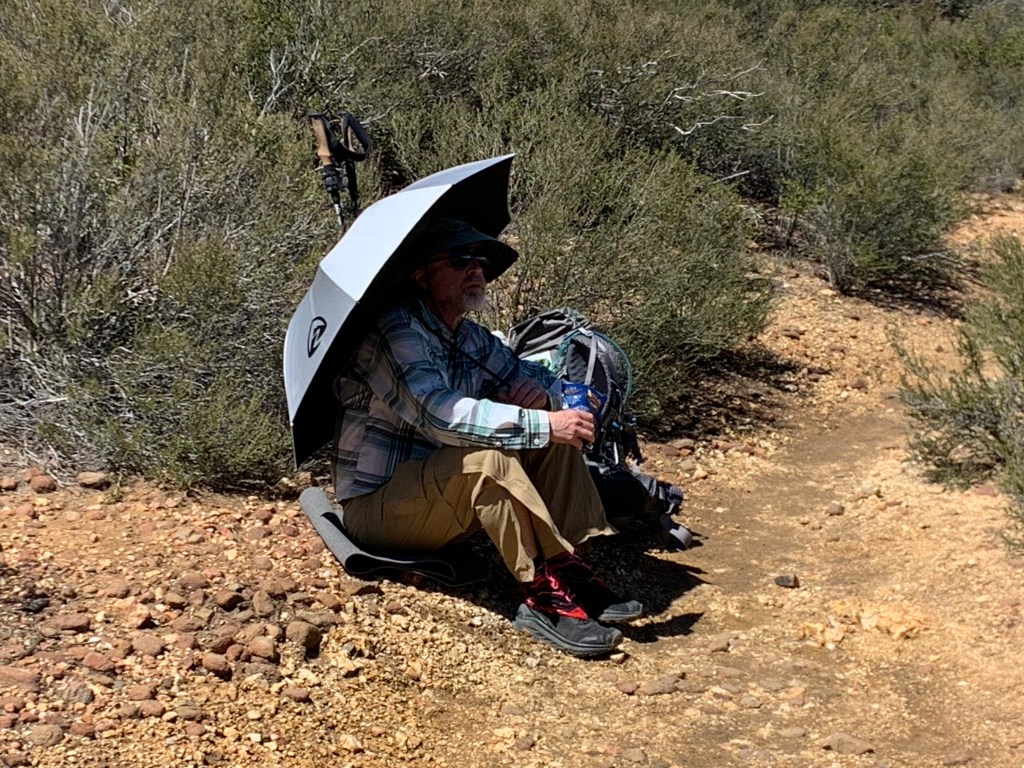
Our goal today was to hike as close to the Paradise Valley Cafe as possible, but first we had to deal with a cold morning and our frosty tent. The cold air settles into the low areas and boy was it cold! We didn’t have a thermometer, but based on how quickly things froze, we figured it was in the high teens Fahrenheit. However, after just a short while on trail we were in the sun and had stripped off the layers.
The trail was beautiful, smooth crushed rock or hard packed granite sand. The flowers were starting to bloom, including the California poppy.

About a mile before our intended camp location we passed through Mary’s Place. Mary lives just off trail and maintains a water tank for hikers along this arid stretch.

Day 13
Start: Table Mountain – 146.2
End: Hwy 74 – 151.9
Miles: 5.7
Start time: 8:44 am
End time: 10:20 am
The trail started with a steep climb but then leveled off atop some beautiful cliffs and canyons.

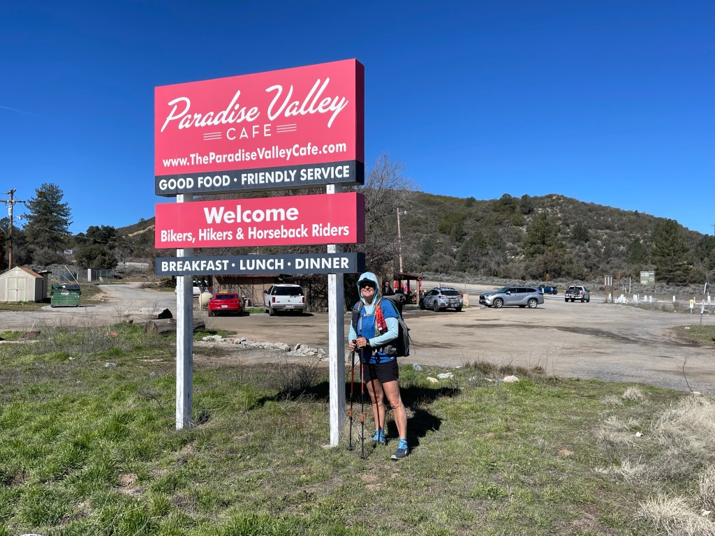
It was pretty easy going because we had real food on our minds. The trail also was busy … and by busy we mean we saw about six hikers all headed for Paradise Valley Cafe.

Before we knew it we were at Highway 74 and began the one mile road walk to the cafe. There we reunited with some hikers and met some new ones as well.
The main conversation between all the hikers was about the snow conditions on Mt San Jacinto and the mountains of San Bernardino and San Gabriel. A couple hikers , Trish and Onward, were able to secure a ride all the way to Tehachapi and planned on walking southbound (SOBO) for aa while. Hopefully our paths will cross again.
After we ate our big breakfast we followed up with tall shakes and waited for Ellen’s dad to pick us up.
As we were waiting we were amazed at the kindness of strangers. Frequently local trail angels or just diners would show up and ask hikers if they needed a ride to the town of Idyllwild 17 miles to the north.
Here is the next video. Enjoy!

Wow such amazing views! Love the videos!!
LikeLike
Wow wow wow. Such beautiful views ! Those wet crossings didn’t look fun though.
You two are bad ass !! 💪🏼
LikeLike
Amazing ! Thanks for the update and keep ’em coming . Enjoy the time. Rick ________________________________
LikeLike
Thanks Rick! I hope you enjoyed the videos linked at the end as well.
Take care!
LikeLike
Glad everything is working out so well… I’m kinda jealous that you’re living your dream… but know that I could never do what you do …. And cold weather….. brrr
It’s nice that there are plenty of crazy people just like you. Can’t wait to hear what your trail names will be.
LikeLike
Incredible progress you’re making! So wonderful that you’re meeting so many trail angels & kind locals – people are adding so much to your amazing experience. ‘Loving being able to live vicariously through you… Hey, how is Jeff keeping his beard so neat and tidy?
LikeLike
Hi Julie, this is Jeff.
I’m glad you like the beard. I was thinking I look like a hobo however. I’m not sure how this is going to look in a while longer. Take care!
LikeLike