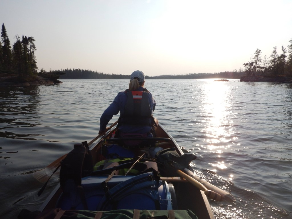
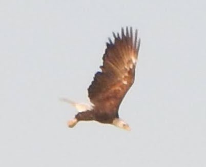
What an epic day of paddling! We woke up after sunrise around 7:30 am. We ate breakfast of oatmeal, coffee and tea, packed up and within the usual hour and a half we were back on the water. The day started off with a nice paddle around a peninsula where we saw a bald eagle perched on the top of a tree. He took off and we got a nice picture of him.

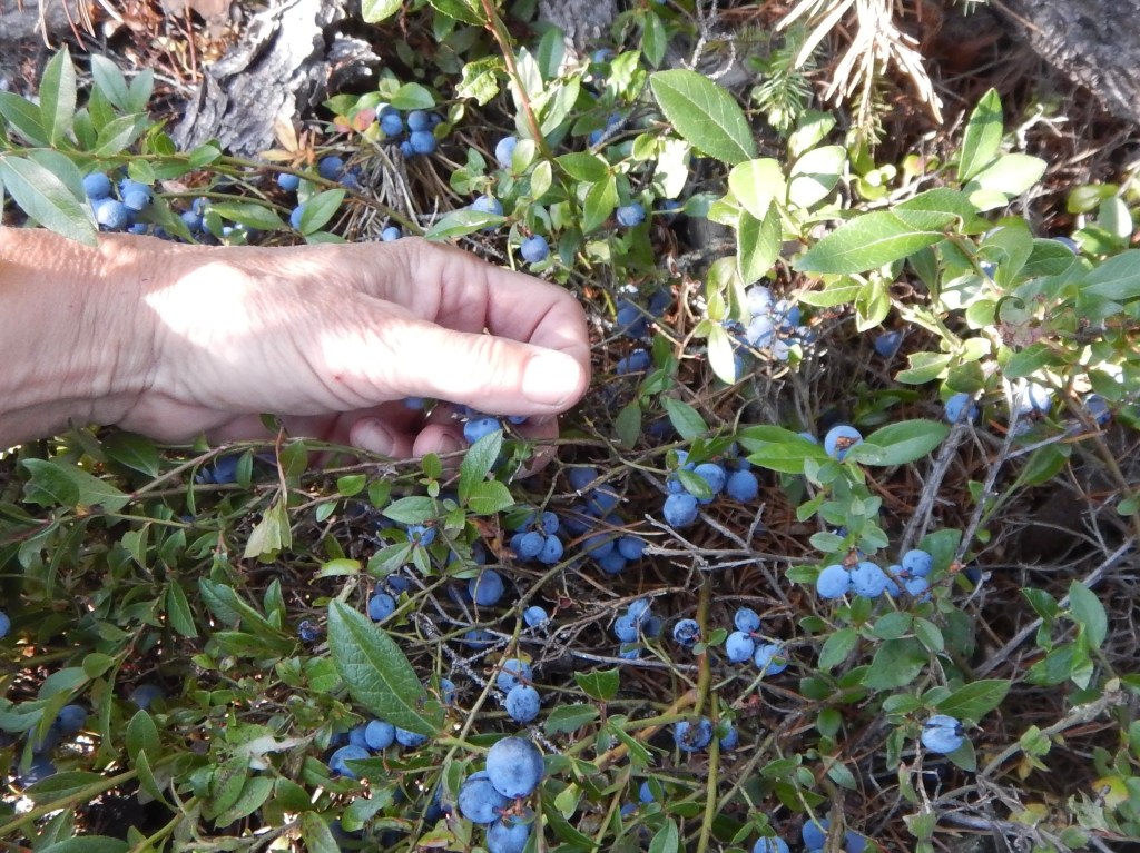
As we made our way out of Grayson Lake and further up the Grayson River we noticed the water level slowly dropping. The river narrowed and it was time again to line the canoe upstream to the next portage. This trail took us into April Lake. We were still in a burn area with lots of blueberries and bear scat. At the end of the portage we took a break, had some lunch before the short paddle across April Lake.
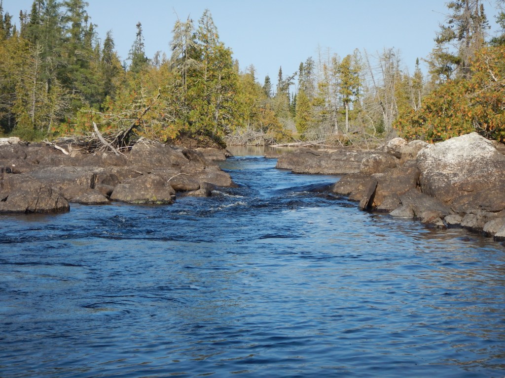


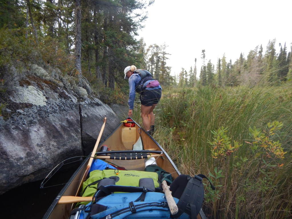
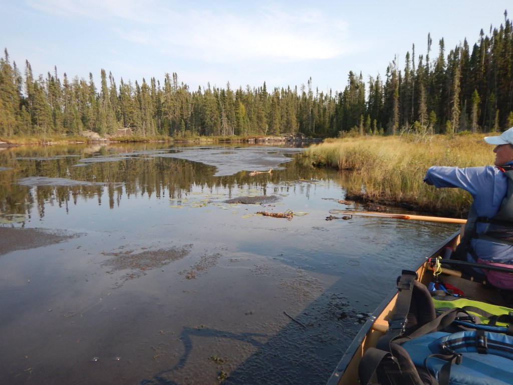
After we crossed April Lake, we saw more evidence of the low water level. It was September after all, and we were also approaching the “height of land” – the dividing area between two watersheds. It was very shallow as we paddled up the Grayson River and across Arril Lake. We saw fewer rocks and boulders but now there was a kind of “muck” which we referred to as “oatmeal”. This layer of suspended organic material began about 6-8 inches below the water surface and continued down farther than we could reach with a paddle. The muck became more dense with depth. What would happen if the canoe became stuck? The muck was neither liquid not solid and so it did not seem possible to stand or swim.
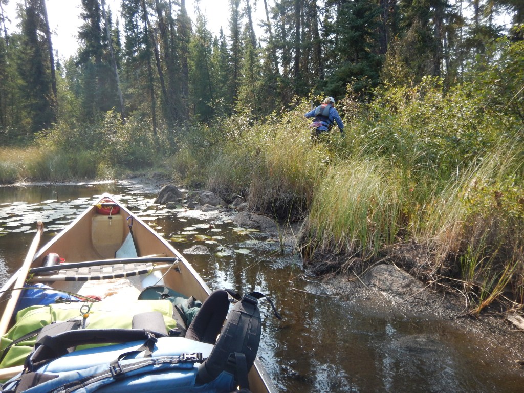
At one point we encountered thick muskeg well before reaching a portage trail marked on the map. Muskeg is essentially a thick matt of floating vegetation. It might support your weight … or it might not. After pushing through a small channel as far as possible we lifted the canoe over some muskeg and into a small pond. We located the portage trail only after landing the canoe on the mucky shore and bushwhacking about.

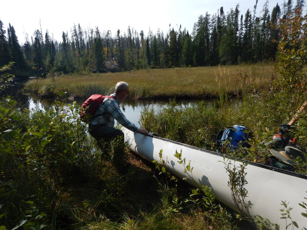
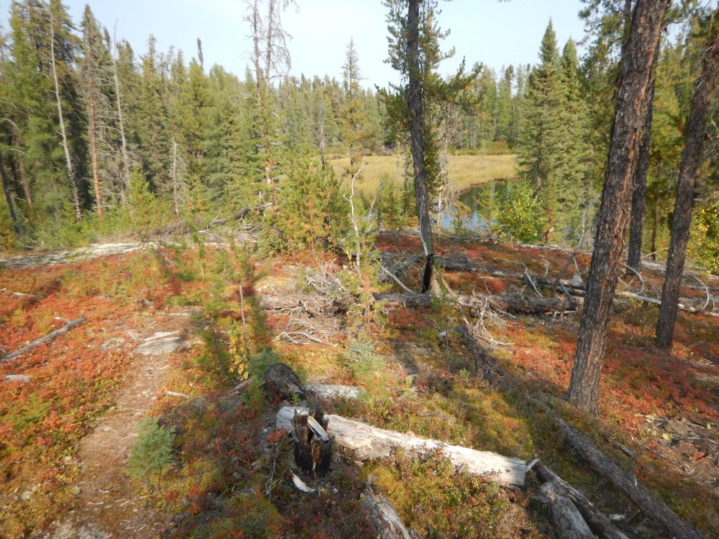
The next portage was a steep uphill climb over a granite dome and through the recovering burn area. It was a tough portage with lots of downed trees, rocks, and of course blueberries.
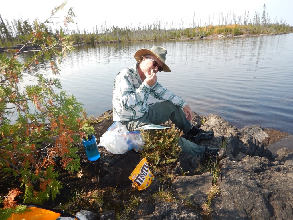
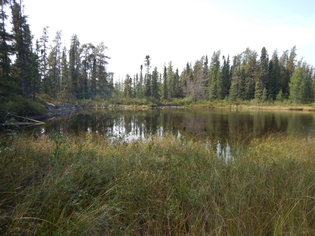
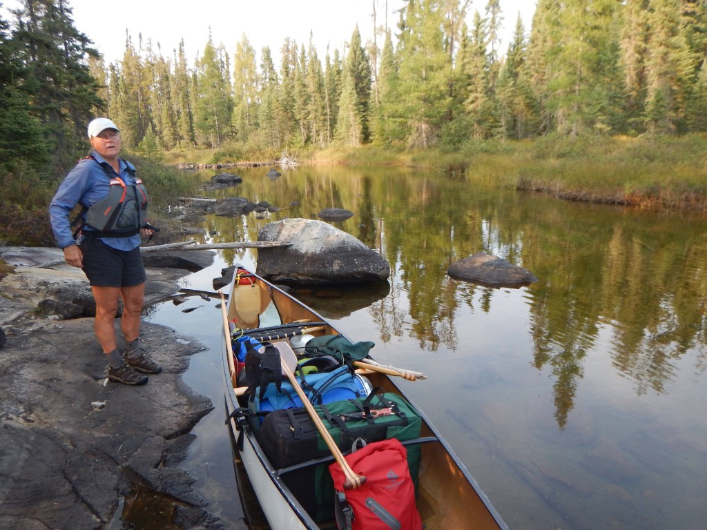
The map indicated that there would be another two portages ahead with some lining required in between. Due to the low water, we encountered a section of oatmeal/muck which stopped us far short of the trails. We tried to paddle along the muskeg on the right but that was impassible and the muskeg itself could not be traversed. We backpaddled to a place where we could cut to the other side. There was an actual shoreline there and so we hoped to find a water passage. The water was just deep enough for us to paddle through to the portage trail. The trail was not in good condition and due to the low water we had to join the two portages with some bushwhacking into one long trail. Finally, we made to Scrag Lake where more “oatmeal” dragged at the canoe from below. Around 6:30 pm we found a rather nice campsite.


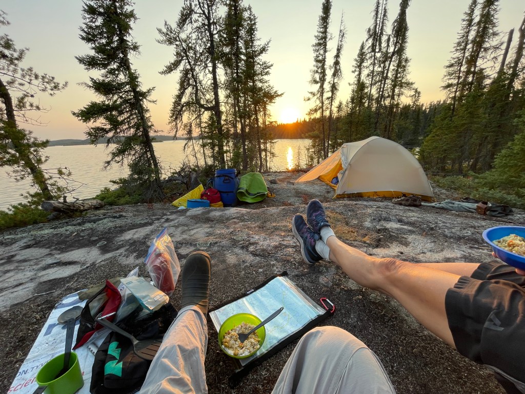
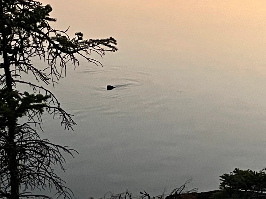
This part of our journey felt very remote and it had been a long and physically demanding day … definitely “type 2” fun! We were both exhausted. After doing our camp chores we both jumped in the water to cool down and wash off the day. After dinner of some Indian food and rice, we sat by the campfire relaxing, journaling and again watching another great sunset. A beaver swam in front of camp and circled several times. They can be very territorial and so we think he wanted to let us know this area was his.